Thundershowers likely in Delhi on Wednesday
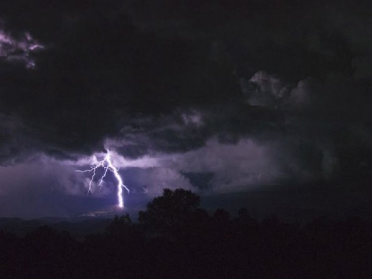

New Delhi: The meteorological department has issued a yellow alert, warning of thundershowers and gusty winds towards Wednesday afternoon or evening in the national capital.
The Safdarjung Observatory, the city's base station, recorded a minimum temperature of 29.4 degrees Celsius, two notches above normal. The maximum temperature is predicted to settle around 40 degrees Celsius.
On Tuesday, a cloud cover had cocooned Delhi, causing the maximum temperature at the Safdarjung Observatory to drop below 40 degrees Celsius for the first time this month.
Consecutive western disturbances and lower-level easterlies predicted in the coming days are likely to keep the heat at bay.
The India Meteorological Department has issued a yellow alert, warning of thundershowers or light rain over the next six days. The mercury is predicted to drop to 35 degrees Celsius by Sunday.
Since June 1, when the monsoon season starts, the national capital has not recorded any rainfall. Usually, it receives 13.8 mm of rainfall in the first 13 days of the month.
Mahesh Palawat, vice-president (climate change and meteorology), Skymet Weather, said the monsoon is expected to arrive in Delhi around the usual date -- June 27 -- or a day or two in advance.
Last year, the IMD had forecast that the monsoon would arrive in Delhi nearly two weeks before its usual date. However, it reached the capital only on July 13, making it the most delayed in 19 years.
Palawat said there is a very slim chance of heatwave conditions returning to Delhi now. The weather will become clear after June 21 and dry westerly winds will commence but a steep rise in temperature is not predicted.
The capital has recorded a maximum temperature of 42 degrees Celsius and above on 26 days so far this summer season, the highest number of such days since 2012, according to IMD data.
In 2012, the city recorded a maximum temperature of 42 degrees Celsius or above on 30 days. The number of such days was 35 in 2010, the highest in the 1951-2022 period, the data showed.
The city has seen six heatwave spells this summer, the deadliest being in mid-May when the maximum temperature soared to 49 degrees Celsius at some places.
The latest heatwave spell began on June 2 amid the absence of strong western disturbances and an onslaught of hot and dry westerly winds.