Heavy rainfall likely in several parts of Odisha: MeT
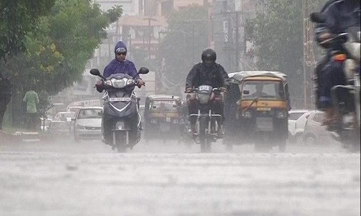

Bhubaneswar: Several parts of Odisha were lashed by rain on Thursday due to a cyclonic circulation over the Bay of Bengal, giving much-needed relief to the farmers hit by deficit rainfall.
Under its influence, a low-pressure area is likely to form over coastal areas of West Bengal around Friday which will enhance rainfall activity in several parts of Odisha, said the Director of the Meteorological Centre, H R Biswas.
Stating that light to moderate rain or thundershower will lash most places, he said heavy rainfall is likely to occur at isolated places over the districts of Koraput, Malkangiri, Nawarangpur, Keonjhar, Mayurbhanj, Sundargarh, Balasore and Bhadrak in next 24 hours.
Similarly, heavy to very heavy rainfall is likely to occur at isolated places over Koraput, Kalahandi, Kandhamal, Sundargarh, Keonjhar, Mayurbhanj, Angul, Deogarh and Sambalpur districts on Friday and Saturday, the MeT center said.
Heavy rainfall is also likely to occur at isolated places over the districts of Cuttack, Dhenkanal, Jharsuguda, Gajapati, Ganjam, Boudh, Sonepur, Bargarh and Nawarangpur.
Rainfall in different parts of Odisha since early Thursday morning has come as a major relief for the farmers of the state where the south-west monsoon has remained elusive after making a delayed arrival last month.
The state has recorded about 32 percent deficit rainfall between June 1 and July 24 this year, officials said.
As many as 21 of the state's 30 districts recorded less precipitation than the normal shower.
Encouraged by the monsoon getting active, farmers in several areas have started agriculture activities.